3D Imaging and National Aquifer Mapping Programme
Published: Jul 31, 2015
Published: Jul 31, 2015
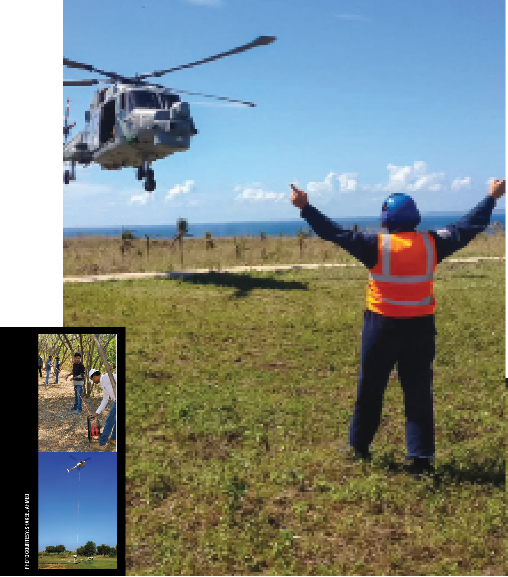
Photo courtesy: DFID, UK
NGRI personnel marking up one of the pilot areas for the aquifer mapping programme (top). Helicopter borne survey underway (bottom).
Keep reading with one of these options :
ENVIRONMENT, EARTH SCIENCE, BIODIVERSITY