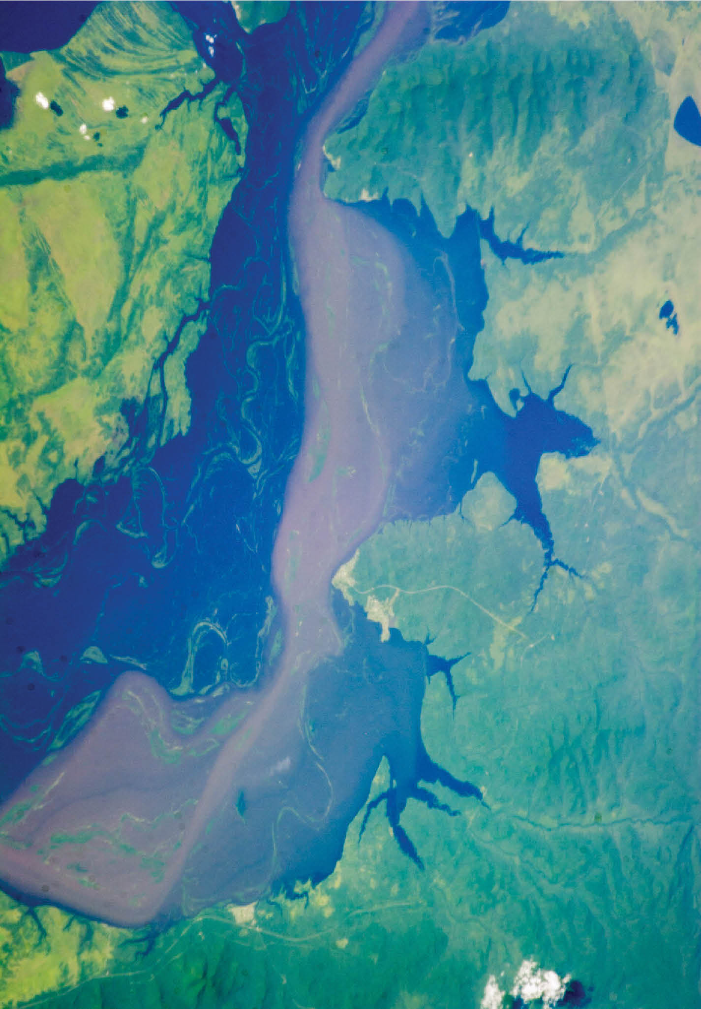
Variability in Groundwater Level
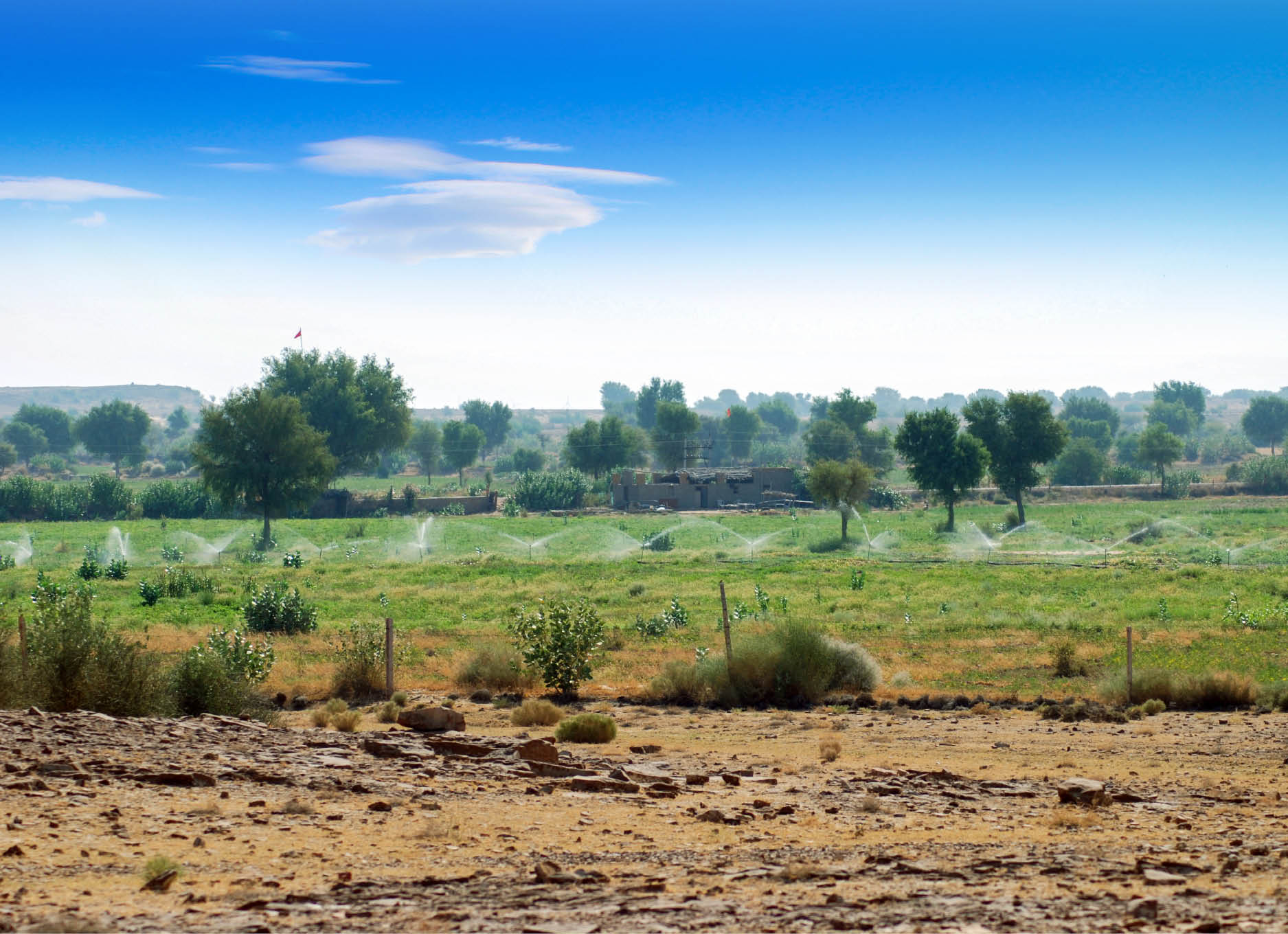
Groundwater is the largest freshwater storage, but its high abstraction rate for fulfilling the demands of ever increasing population, industrial and agricultural sectors has been leading to its significant depletion....
.png )